University of Minnesota
http://www.umn.edu/
612-625-5000
http://www.umn.edu/
612-625-5000
Minnesota Biodiversity Atlas
Bell Museum
Dataset: MIN-Fungi
Search Criteria: El Salvador; excluding cultivated/captive occurrences
1
Page 1, records 1-6 of 6
Bell Museum fungi | |
 MIN:Fungi | 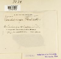 Chaconia ingae (Syd.) Cummins 319116[1223259]Standley, Paul C. 232691922-03-30 El Salvador, San Salvador, 350 - 850m |
MIN:Fungi | 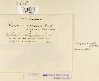 Coleosporium anceps Dietel & Holw. 321302[1224569]Standley, Paul C. 213641922-03-04 El Salvador, San Vicente |
MIN:Fungi | 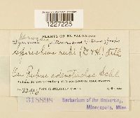 Gerwasia pittieriana (Henn.) León-Gall. & Cummins 318898[1227225]Standley, Paul C. 229061922-04-07 El Salvador, Volcan de San Salvador, 1000 - 1800m |
MIN:Fungi | 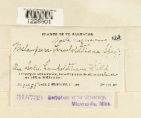 318739[1228901]Standley, Paul C. 202551922-01-09 El Salvador, Vicinity of Ahuachapán, Departamento de Ahuachapán, 800 - 1000m |
MIN:Fungi | 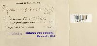 320518[1231734]Standley, Paul C. 199051922-01-09 El Salvador, Vicinity of Ahuachapan, Departmento de Ahuachapan, 800 - 1000m |
MIN:Fungi | 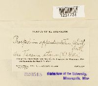 320515[1231731]Standley, Paul C. 225901922-04-01 El Salvador, Along the road from San Martin to Laguna de Ilopango, Departmento de San Salvador. |
1
Page 1, records 1-6 of 6
Google Map
Google Maps is a web mapping service provided by Google that features a map that users can pan (by dragging the mouse) and zoom (by using the mouse wheel). Collection points are displayed as colored markers that when clicked on, displays the full information for that collection. When multiple species are queried (separated by semi-colons), different colored markers denote each individual species.